A field-ready UAV (multirotor or VTOL) that flies pre-planned survey missions, captures RGB/multispectral/thermal images, and produces health maps (NDVI/NDRE), stand counts, stress & irrigation alerts. Great for learning aerodynamics, avionics (autopilot, GPS/RTK), imaging, and geospatial analytics.
Parts Used:
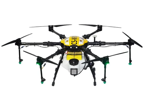
- Airframe & Propulsion – Frame (carbon/fiberglass), motors, ESCs, props, landing gear.
- Autopilot – Pixhawk (ArduPilot/PX4) with GNSS (GPS/RTK) + compass, barometer, IMU.
- Power – Li-ion/LiPo battery (4–6S), smart BMS, XT60/90 connectors, balance charger.
- Radio Links – RC failsafe receiver, telemetry (433/868/915 MHz), video/USB for camera.
- Payload Cameras
- RGB 20–26 MP (gimbal or fixed mount)
- Multispectral (e.g., Red, Red-Edge, NIR) with sunshine sensor (optional)
- Thermal (for irrigation leaks/canopy temp; optional)
- Ground Segment – Laptop/tablet with QGroundControl/Mission Planner, RTK base (optional), field tablet.
- Safety – Beeper, strobe, GPS geofence, parachute (optional), prop guards (training).
- Accessories – Hard case, foldable launch pad, spare props, tool kit, field batteries & checker.


 Got Questions About Your Final Year Project?